TerraPilota uses drones for aerial surveillance, providing security monitoring and environmental assessments.
Security & Surveillance
Our drones provide real-time monitoring for large properties, high-risk zones, and critical infrastructure, ensuring enhanced safety and rapid response.
- Monitor large crowds, identify potential threats, and enhance crowd control measures efficiently.
- Protect residential estates, industrial sites, and commercial properties with 24/7 aerial monitoring.
- Assist in search-and-rescue missions, criminal tracking, and emergency response with real-time aerial support.
- Detect unauthorised activities and secure national borders, restricted zones, and corporate perimeters.

Infrastructure & Industrial Inspections
Eliminate the risks and inefficiencies of manual inspections with drones that provide high-resolution imaging and thermal mapping.
- Track project progress, inspect safety compliance, and reduce costs with automated aerial surveys.
- Detect structural weaknesses in power lines, wind turbines, and solar farms without endangering workers.
- Inspect cell towers and network infrastructure efficiently without climbing risks or service interruptions.
- Conduct safe, efficient inspections of pipelines and offshore platforms with minimal operational downtime.

Customised Drone
Solutions for Businesses

Media & Film Production
Our drones bring cinematic perspectives to life with high-resolution cameras and smooth, stable flights. Perfect for capturing dynamic aerial shots, our drone solutions enhance movie scenes, commercials, and documentaries.

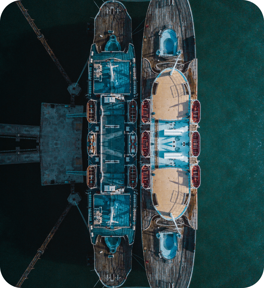
Real Estate & Urban Planning
Drones revolutionise property marketing and urban planning by offering high-definition aerial views of real estate. Whether you’re showcasing a property or assessing land for development, our drone solutions provide precise images and data with geographical Mapping.

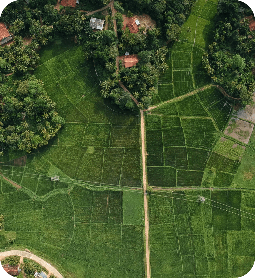
Scientific Research & Mapping
In the realm of scientific research, drones deliver crucial data for environmental studies, wildlife monitoring, and geographical mapping. Our drone solutions allow researchers to capture hard-to-reach areas, providing real-time imagery and topographic data.
Environmental & Agricultural Monitoring
Harness drone technology for large-scale environmental monitoring and precision agriculture, reducing costs and improving efficiency.
- Monitor animal populations, detect poaching activities, and assess environmental changes with aerial data.
- Assess damage from floods, wildfires, or earthquakes, aiding faster relief and resource allocation.
- Study shoreline changes, marine habitats, and ocean pollution levels with high-definition aerial footage.
- Detect illegal logging, track deforestation, and optimize reforestation projects effectively.
